India Names 28 Ladakh Landmarks, Adds Them to Official Survey Map
The Union Home Ministry has standardised names of 28 geographical features in Ladakh, including locations in disputed areas, for the official Survey of India map.
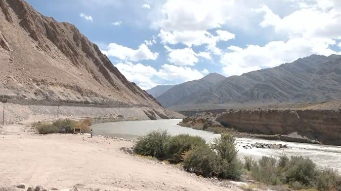
The Union Home Ministry has standardised the names of 28 geographical features in Ladakh and included them on the official Survey of India map following consultations with the Union Territory administration.
The locations cover a range of geographical features, including peaks, mountains, passes, glaciers, valleys, rivers and lakes. The list includes names such as Zorawar Peak, Kanishka Peak, Atisha Giri, Martand Giri, Rinchen Zangpo, Milarepa Kangri, Shiva Ri and Maheshwar Ri.
Several mountains, including Karun Pir, Drak Karpo and Zolmori, have also received standardised names. The list includes Chapchingle Pass, Shachmirk Pass, Parpik and Skamari glaciers, along with the Shkorga Valley.
Other locations include Brangsa, Kuksel, Dehra Compass, Gogra, Kumarayan Point, Panglung and Shamal Lungpa. Dehra Compass is situated in the Aksai Chin region, which India claims and China administers.
Guru Rinpoche Lake, Yangpa River and Hot Spring are also among the geographical features included in the exercise.
According to the government, the move is intended to ensure accurate identification of the locations and improve public awareness of the region.
The 28 features will now appear with standardised names on the Survey of India’s official map. In border geopolitics, apparently, even a name on a map can carry plenty of weight.